
This morning I got up just before 7 AM and started packing up. Once everything was put away and situated, I laid in bed and did a little more writing and video work. Then right around 8 AM Noelle got up and drove me back to the trail. I had such an amazing time staying with her last night! She was so nice and I felt so happy and comfortable in her home.
When I did get dropped back at the trailhead, I had to start an alternate route. There’s a closure for the first few miles of the PCT going north from the highway. So there is a bit of a roundabout road walk and trail alternate that goes all the way around and back to the trail. No one has left comments indicating exactly how long it is. But my hope is that it’ll be less than 3 miles. Just because I would really like to do 33 trail miles today. So if I have to also do a detour and add miles, then it’s going to wind up being a much bigger day.
It was actually really nice to start the day on a road walk for a change. That went on for a mile or so and was a very quiet road. Then the trail went through a tunnel under the highway and eventually into Castle Crags State Park. I went right by a campground, and there were some through hikers set up there. Then I got back onto this alternate blue line and started making my way back to the PCT.
A trail closure that I had to walk around.
Sometime around now, something occurred which I didn’t fully understand for a while. I had had my map zoomed in a little bit too far. And there were multiple blue alternate routes. I accidentally started going down one of the wrong blue trails. Which meant I wasn’t heading in the direction of the PCT. It took me a while to figure this out and by the time that I did, it was too late to really majorly rectify it. I added a bunch of mileage to the day and then just had to continue making my way back to the trail.
I know that wasn’t a huge deal and I really think it only added about 3 miles in total to the day. And I know that this detour was going to add mileage to the day no matter what. Though I knew that my mistake cost me at least a mile or so. But all of the stress that was created in my body when I realized this was exhausting. It got my heart pumping and I was looking at the map, trying to see where I went wrong and how to fix it. And there was just no quick fix.
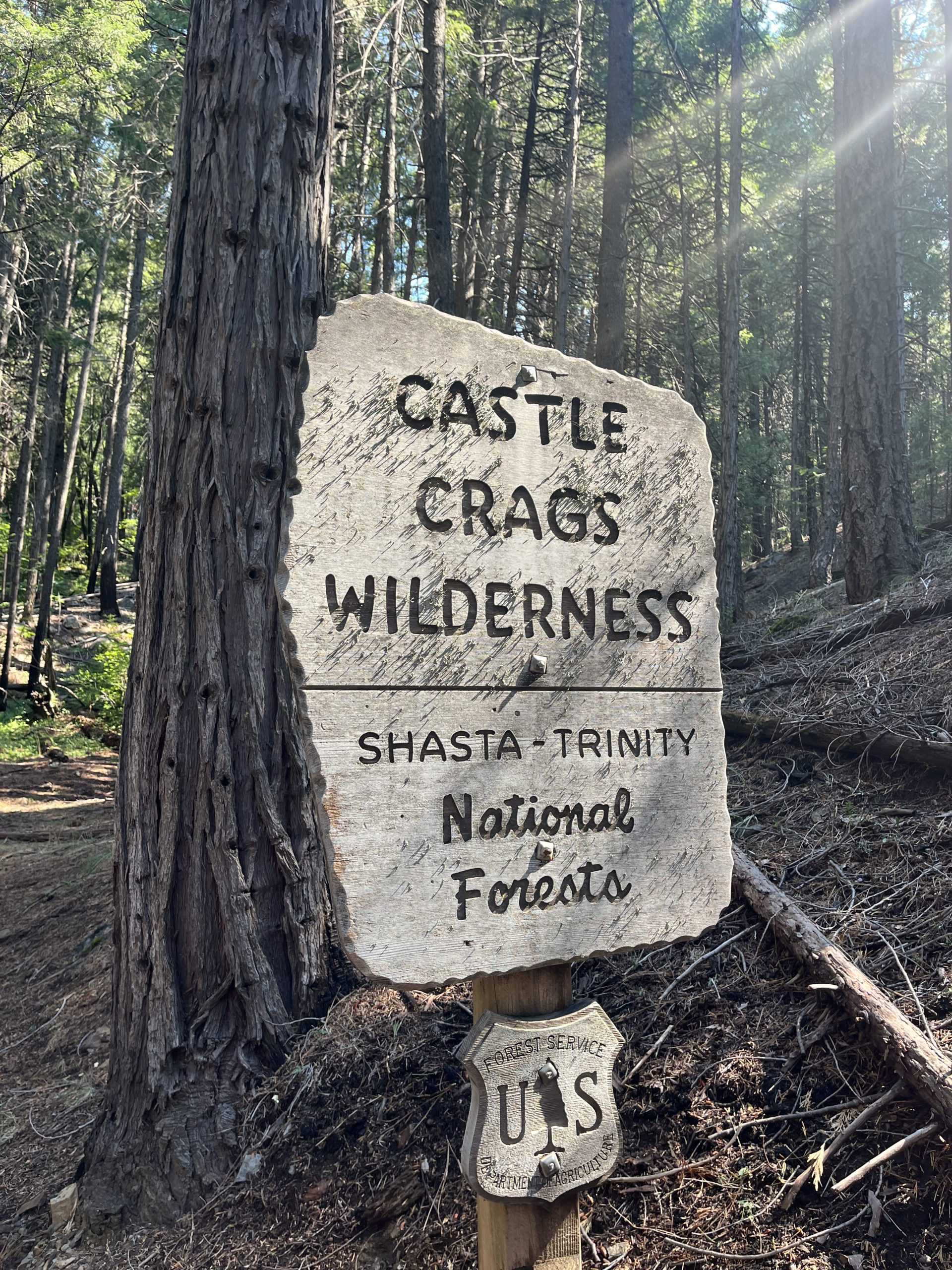
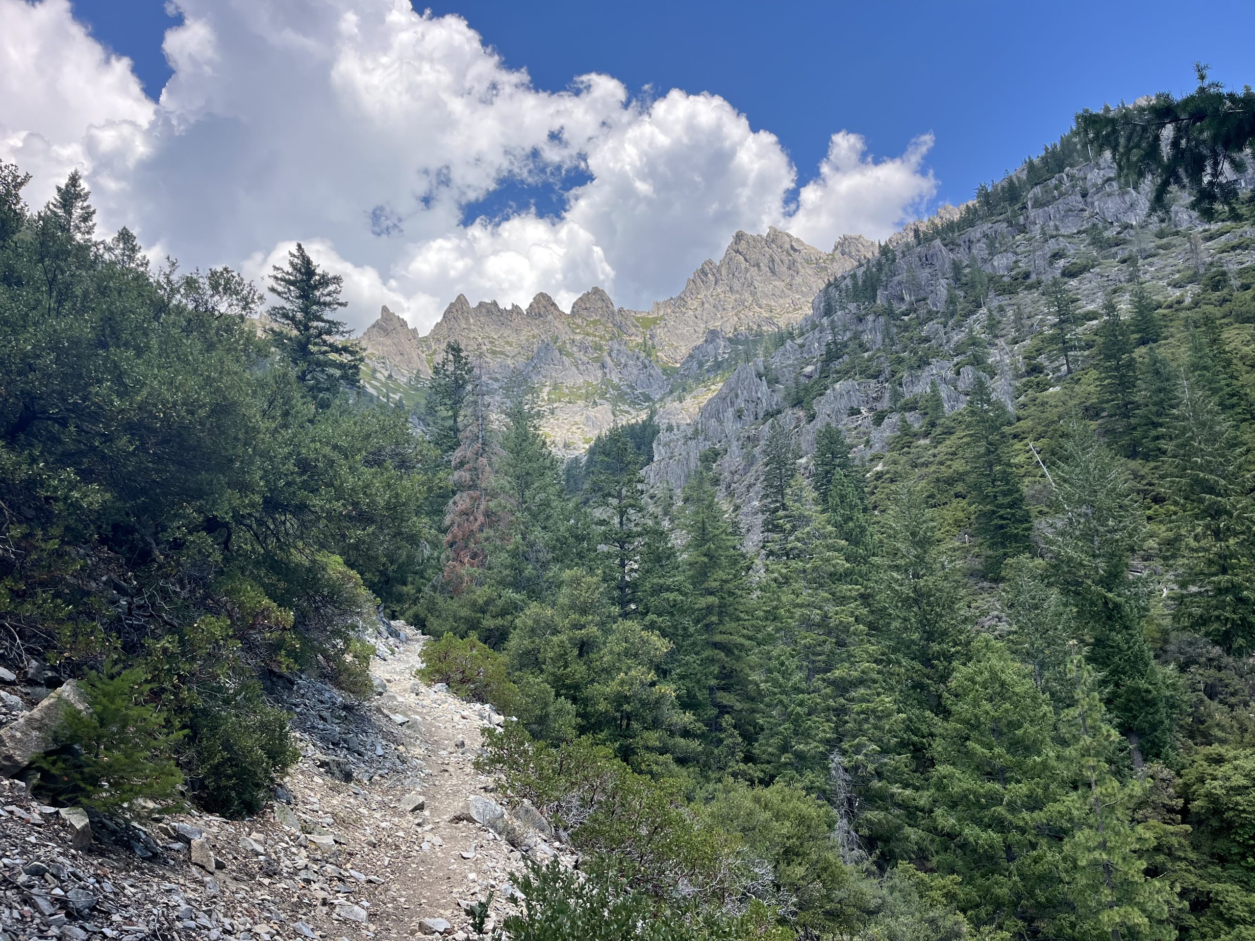
Entering Castle Crag wilderness.
The damage was done and I just had to come to terms with the fact that I wasted a bunch of time. Basically just because I looked a little bit too quick at the map and didn’t connect the route back the way that I should have. Even though I had checked and mapped out my route previously. I just looked really quick the last time I was making a turn, and that was my fatal error.
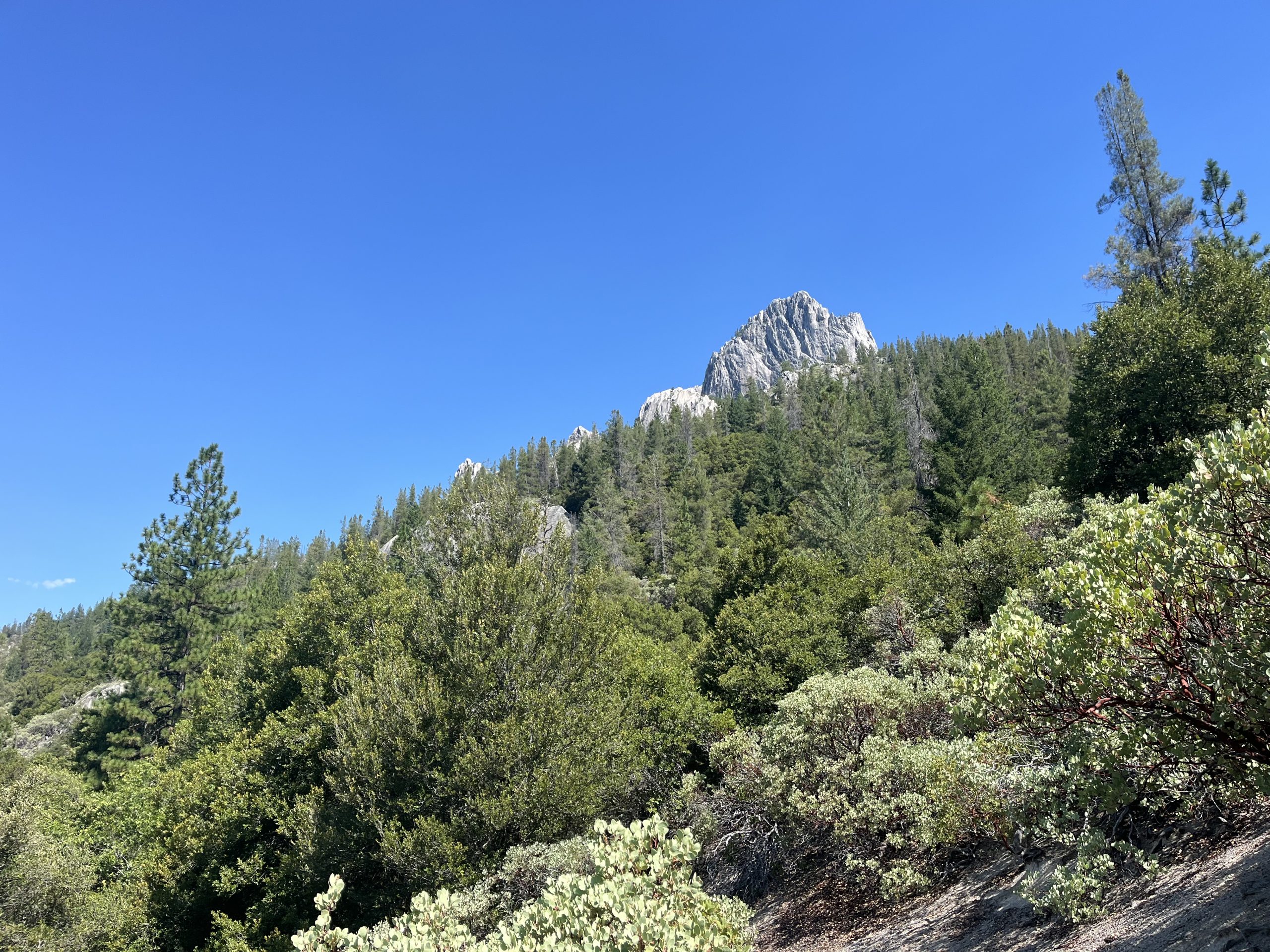
First views of Castle crag.
I still eventually got back on the trail and it really wasn’t the end of the world. But that just seemed to rock my entire day. Now I still had to go 30 miles for the day, or at least I wanted to. And I was only about 6 miles in for the day. So I will certainly be hiking into the dark or up to dark tonight. And I would also be climbing for basically the entire day.
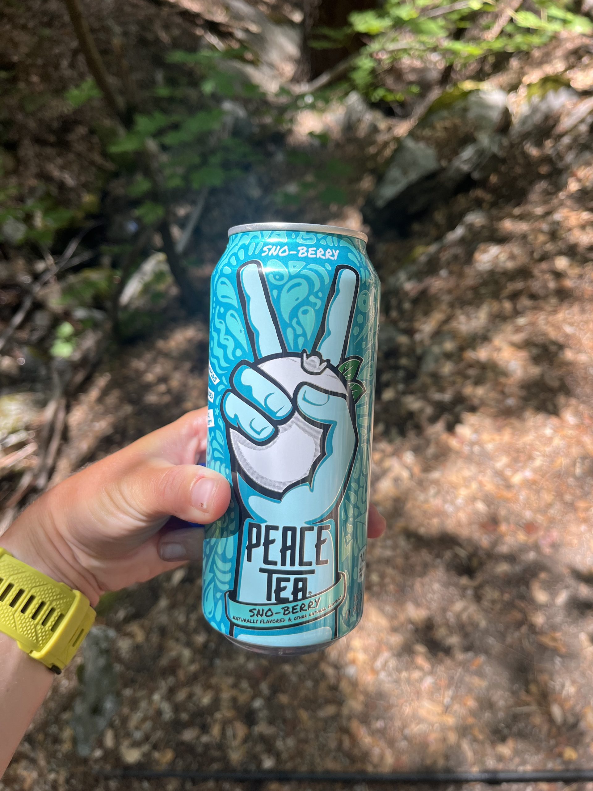
I brought this all the way from town as a little treat.
Over the next couple of hours, I wound up going past a bunch of hikers which was really cool. I walked and talked with one guy for a while. And the uphill really wasn’t too bad. There were some segments of mileage which were fairly steep. But a lot of it was pretty gradual. As time went on though the temperature started to drop and clouds began to roll in. Over the last week there have been so many afternoon thunderstorms. It’s basically just the new trend out here at Northern California. So I could tell what was coming.
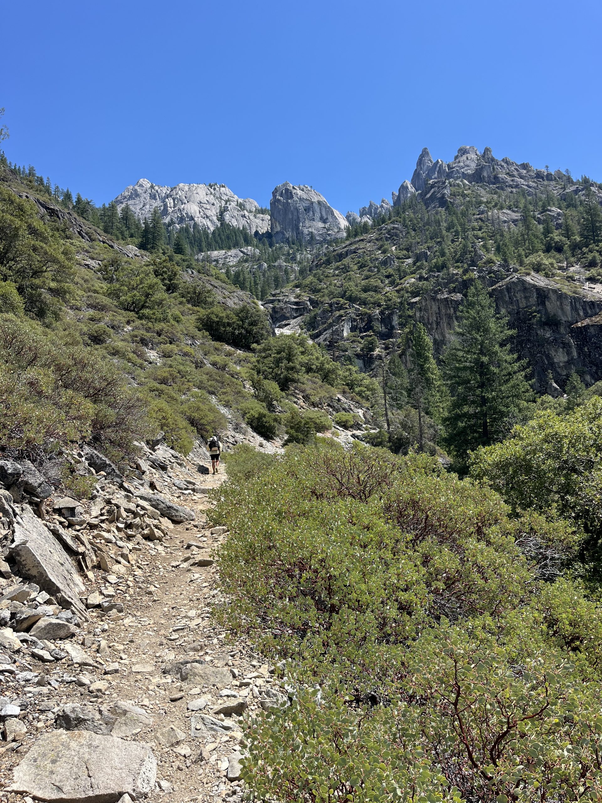
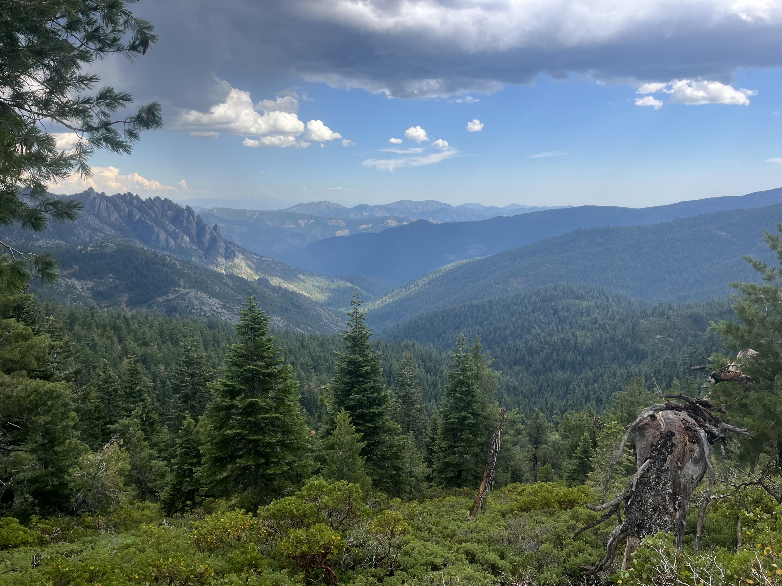
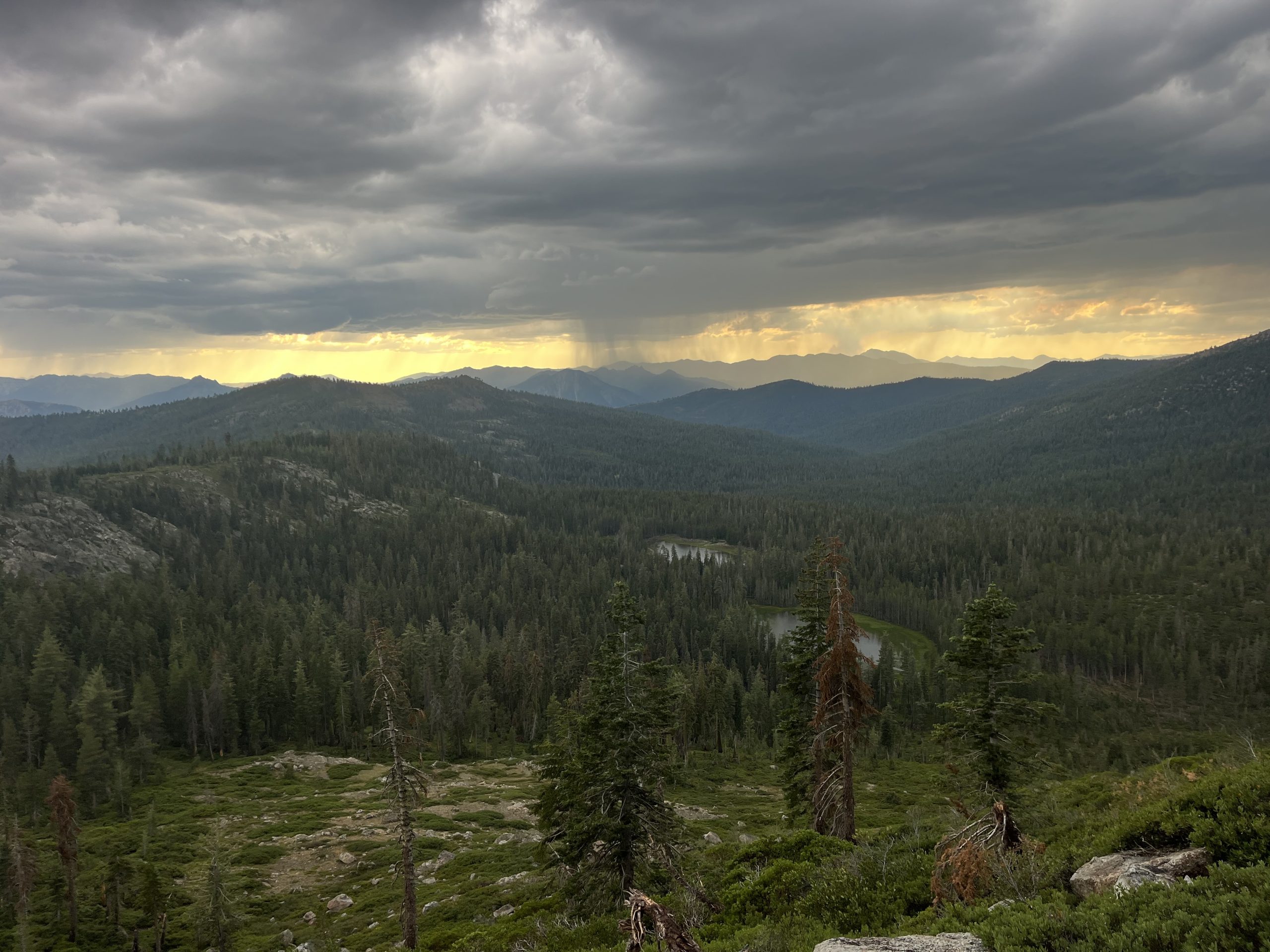
Epic views this morning.
After a while, the rain started. But it was pretty light. I used my umbrella and didn’t even need a rain gear. And I felt like a winner honestly. The umbrella is one of the most useful piece of gear that I’ve had for the last week. It’s been raining and hailing so it’s nice to be able to just whip it out and keep myself dry. Plus, it really hasn’t been particularly windy and the trail usually isn’t super overgrown.
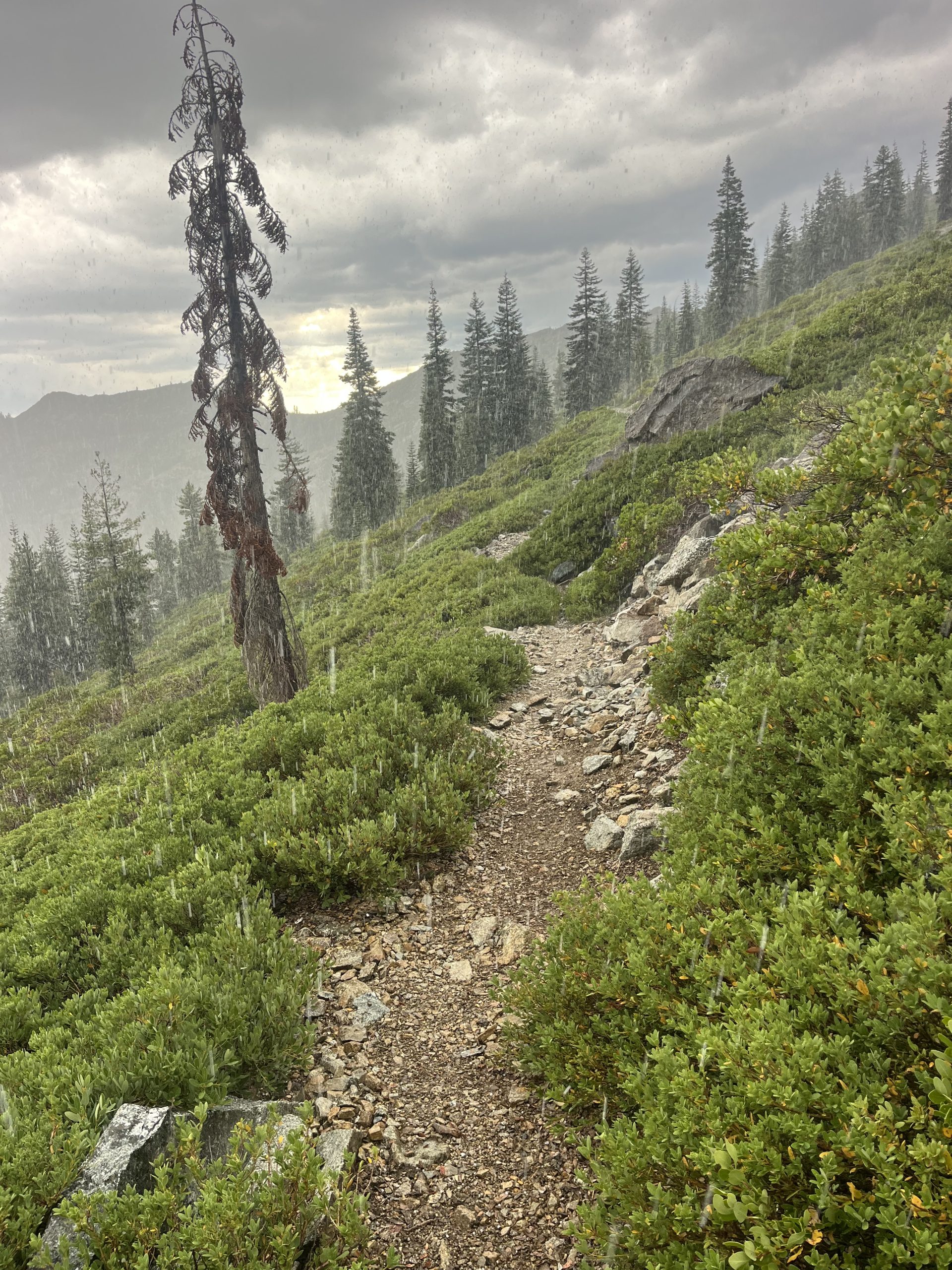
Heading up toward Castle Crag.
I stayed really dry because of the umbrella initially. But after a while, the trail did become really overgrown. There was no way of avoiding walking into the branches. And they were just logged with water that they dumped onto you as you went past. So even though my umbrella had kept me safe from the rain, there was nothing to keep me safe from the bushes. My feet were getting soaked and my sides got a little bit wet.
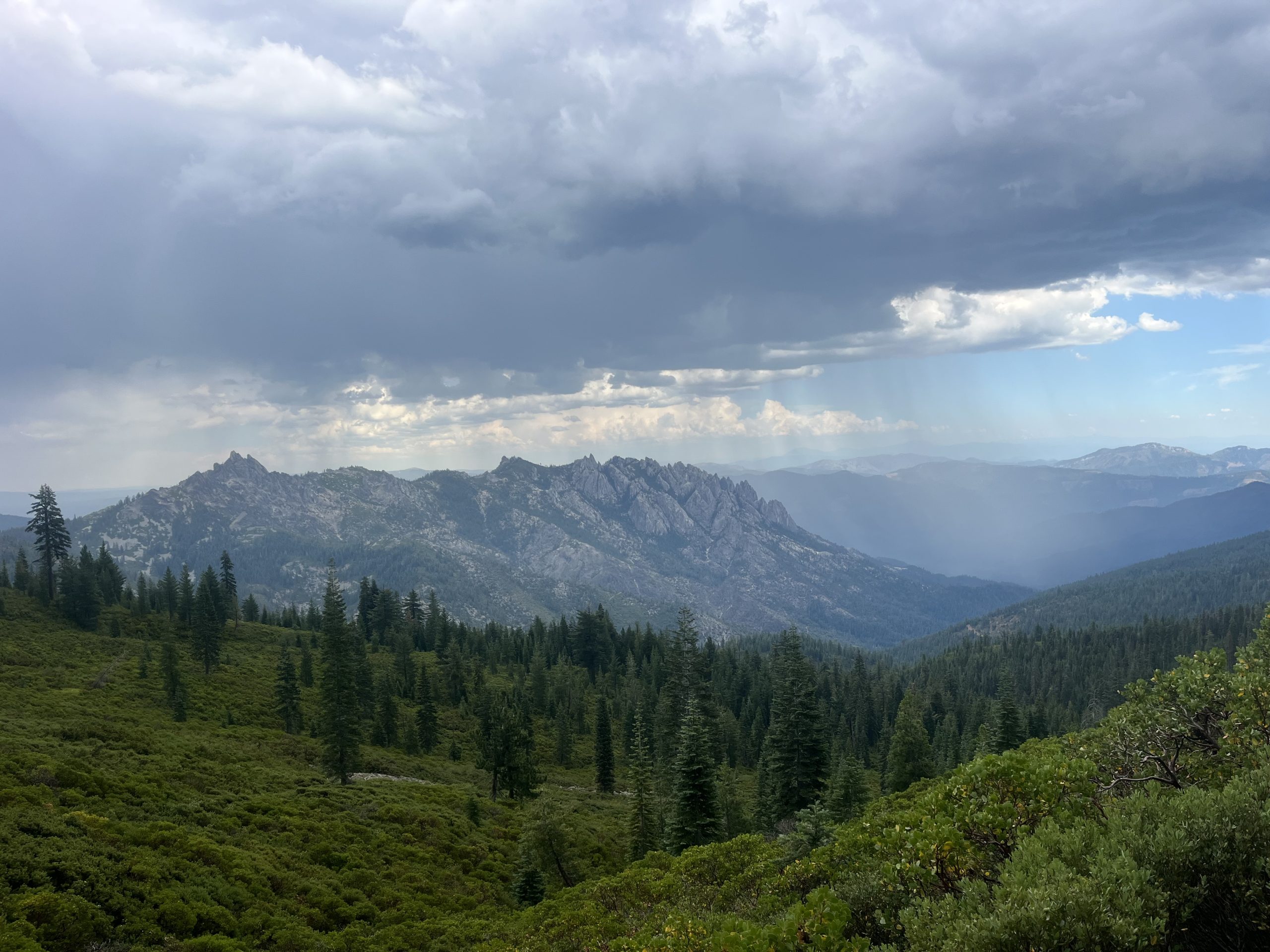
Views just before dark skies began to roll in.
Over the next hour or so the storm ebbed and flowed. Every now and then the rain would stop for a while. Then it would start up again. Then it would stop again. Then it started to hail! Some of the hail was marble sized too, which was pretty dang big. And the rain and hail were pretty heavy for about a half an hour or so. While I was making my way up one part of the climb, I noticed a hiker walking towards me. That can be an odd thing to see. And I don’t know how I knew, but I could just tell it was a PCT hiker, and I could tell that they had bailed out for some reason. I had a sixth sense.
The daily dose of afternoon thunderstorms.
I asked him if everything was ok and they told me that a fire just started up ahead this morning. They had gotten information about it and saw that it went from 20 to 100 acres fairly quickly. Apparently it’s about 40 miles north of here and it’s only 2 miles from the PCT. They just said that they didn’t feel comfortable continuing and they were being overly cautious. But they also said that there were some other hikers up ahead of me who had continued on.
There’s nothing like climbing higher when thunder and lightning are cracking nearby.
The hiker was also pretty freaked out by the thunderstorms. I understand that we are continuously climbing for basically the entire day. So as the day goes on, I am going to get closer to the top of this ridge and maybe even eventually above tree line. But I wasn’t super worried about it honestly. And for the most part, it had just been thunder and I never heard any lightning. But everyone’s comfort zone is totally different and everyone has the right to turn back whenever they want to.
I just kept pushing on after that and eventually made my way to the next water source. Where I caught up to the three hikers who I had been told were up ahead of me. They didn’t have any other information about the fire. But one guy did have a map on his phone that I was able to look at. I was convinced that the PCT up ahead was likely going to close very soon. If a fire is only 2 miles from the trail, then I can’t imagine that the PCT is going to leave that portion of trail open. It just sounds very dangerous. So I wanted to look at a map and see some road options for walking around the fire.
Sometimes the PCTA will publish reroutes around fire and things like that. But often sometimes they simply recommend avoiding the area or going around it. And if they do create a reroute, it can typically take time for them to figure it out. I don’t have the luxury of time so I was just going to find my own reroute! I also decided to send a GARMIN message to Outside Jay to get his opinion. It seems like he’s always following the fires and those exactly what’s going on.
Hiding under my umbrella from the rain and hail.
While I sat there I grabbed some water for the next 10 or so miles. There are water sources up ahead sooner than that, but they’re all off trail. I have no desire to do a few hundred foot descent down to a spring just to climb back up again. I felt like I spent way too much time sitting around at this water source. But I feel like every single time I sit down I wind up just burning time. It’s hard to avoid.
I eventually got up and moving again. I decided to put on my rain jacket and pants because of all the overgrowth next to the trail. My umbrella was doing a great job of keeping me dry from the rain. But the shrubs were smacking up against me and soaking me. And it was actually pretty cold at this point, probably in the low 60s. I just knew it wasn’t going to get much warmer over the course of the day. And I wanted to avoid getting uncomfortably cold if I could.
The next couple of miles weren’t amazing, but things did get better. Eventually the rain and hail completely stopped for a while. And eventually, the trail also stopped being wildly overgrown. So that was nice. As time went on I slowly began to dry out, which felt really good. After a while the only part of me which was what was the bottoms of my rain pants and my shoes. Which I really couldn’t care less about.
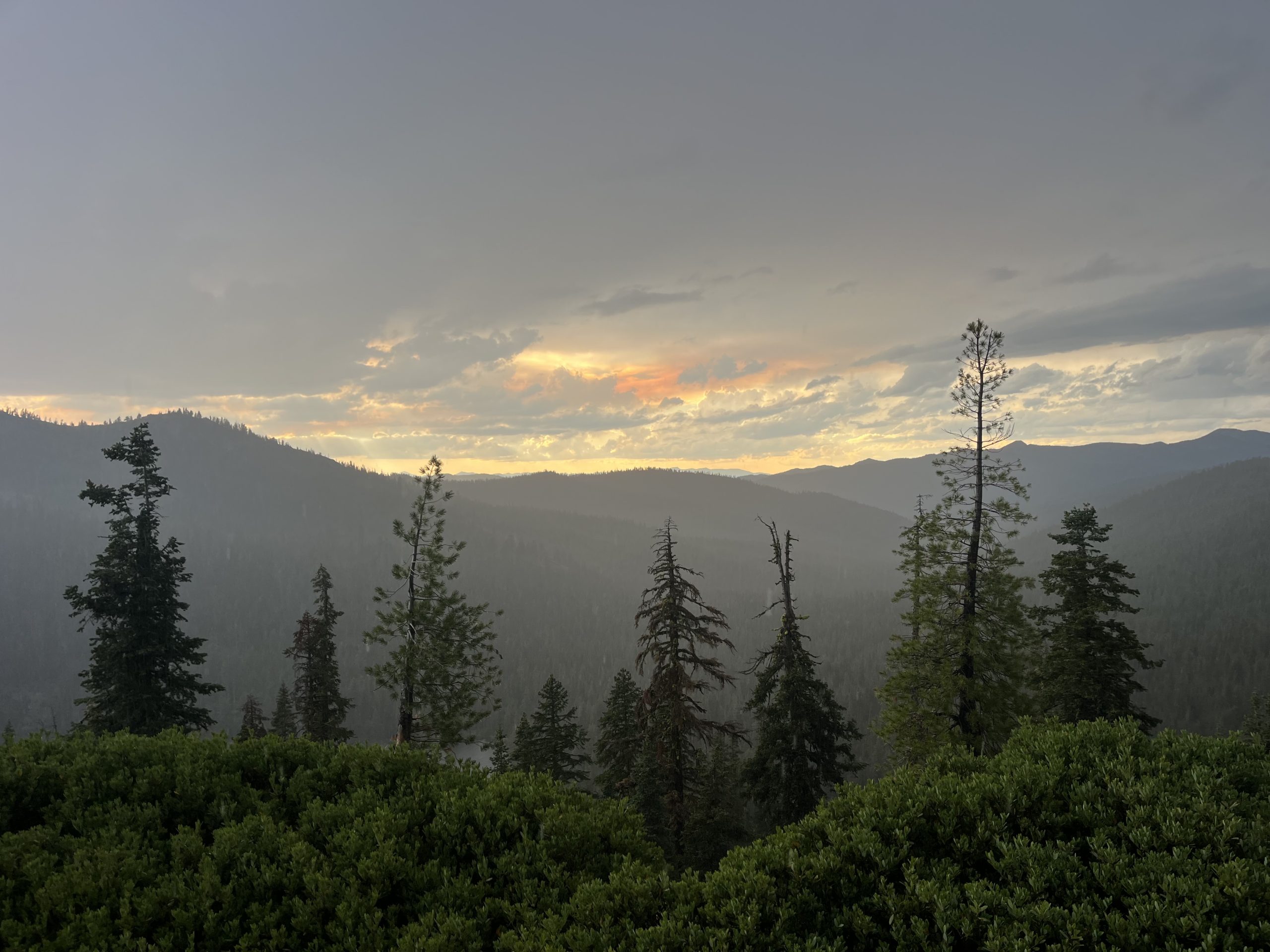
A beautiful sunset as it poured rain off in the distance.
When I had left that last water source, I had intended to go another 18 miles for the day. That would have put me at 36 miles for the day and was my intended camp spot. But I also probably wasn’t going to get there until well after 9 PM. And some hikers who I’d ran into at the water source had told me more thunderstorms are supposed to roll in around 9 PM. The idea of getting to camp and setting up before the rain started again sounded great.
Over the next few hours, it rained briefly once or twice. There was super loud thunder, though, and there started to be cracks of lightning. Luckily the lightning was actually very far off in the distance, which was good. And the trail was continuing to climb for the next 18 miles. After about 6 miles it was going to level out a lot. And then there wouldn’t be substantial elevation gain for the rest of the day. I would just be climbing 100 or so feet at a time up a hill and then continuing along the ridge.
I was so happy to have my umbrella over the course of the rest of the day. If I hadn’t had it then my core would’ve gotten so wet and I would’ve been much more uncomfortable. But when the trail wasn’t overgrown, the umbrella was perfectly adequate to keep me dry. Plus, a lot of the hail was absolutely massive and it was nice not to get pegged in the head and ears. Hail really hurts when it smacks into your ears!
Time went by pretty quickly, but not fast enough for me. I think today was just mentally exhausting for some reason. I feel like I drained myself stressing out about the accidental mileage this morning. Then I stressed myself out a little bit trying to deal with all this fire information while simultaneously getting hailed on and rained on. It’s really hard to have a conversation about fire when it’s just you and one other person who are both standing in the rain.
For whatever reason, this day drained me. By the time that I had gone about 26 or so miles for the day, I was ready to be done. And I realize that I had hit my average and could’ve been perfectly content with that. But I am planning on being an Etna two nights from now, and doing a super short day today is just going to make that difficult. I’ll either have to do a really big day tomorrow or I won’t get into Ethan until the following evening.
At some point, I got service and I was able to go back-and-forth with Outside Jay about this fire. It had in fact closed 20 miles of the PCT just north of here, mile marker 1581–1600. So this left hikers with a couple of options. I think most people are just going to hitch around the fire from one road or another. Other people have the ability to hike up to the closure and hitch out. Or hike up to the closure and do road walk to get out and up to Etna. Then eventually reconnecting to the trail.
After looking at the maps, there seems to be a better option. In about 35 miles the trail would cross over Highway 3. This highway goes straight into Callahan and then eventually into Etna. And from Etna, I could walk all the way to Etna summit where the trail picks up again. Doing this route would mean missing a little more PCT mileage than the closure. But the alternative requires adding 25+ miles on to the PCT distance. Because the other road you get out at is not as near to town. So it’s looking like the road walk from highway three is the most logistical option.
At least on the bright side, the terrain tomorrow looks nice and easy. So if I don’t go as far today, at least it’ll be easier for my big day tomorrow. I wound up deciding to at least hike to the next water source, which would be about 32 miles for the day. I definitely should have gone past that but I was so tired and just ready to be done. If I at least got to the water source and camped past there then tomorrow wouldn’t be too terrible. I would have to go about 40 miles for the day though. On the bright side, the first 30 miles were all on fairly gradual trail. Then the last 8-9 miles of the day would all be road walk and downhill.
It was such a relief to finally get to that next spring and fill up on water. I had wanted to stop at every single camp spot that I went past. Really the only reason that I kept going was that I didn’t have enough water to cook dinner, drink water, and have water with the morning. Which I guess was a good thing because it kept me going. Once I filled up at the spring, I told myself I could stop at whatever tent site came up next.
There were tons of really cool exposed tent sites up on top of the ridge. And the rain and thunder had stopped. But I was expecting it to start up again any minute now. So I wanted to get to a slightly more protected spot for the night. I eventually did find a spot which seemed half decent. It wasn’t windy or anything like that. It just didn’t seem like the best place to camp if it was going to rain a lot.
There were no other options though so I just caved and set up there. My hope is that it won’t rain at all. But that if it did rain, it wouldn’t be too bad. Just sometimes the ground is so soft that your tent stakes go too deep into the ground. And if that’s the case, then your tent isn’t propped up as well. So the bathtub, which keeps water out, isn’t raised up as high. I could just tell before I even got set up that it wasn’t going to be an amazing spot. And even doing my best to set up my tent, it still was pretty mediocre.
Eventually, the skies cleared just before dark.
I was really excited to be done for the day though, so I really could not care at all. Once I was in my tent, I got everything situated. Then boiled water to have a Knorr side dish for dinner. And I bought way too much carnation breakfast and hot chocolate at the store. So I had a really big hot drink for dessert. At first, I wasn’t even going to check to see if I had service in the spot. I hadn’t had service up on the ridge so I really wasn’t expecting to have it down here. But then I turned my phone on and Walla, service.
I was able to go back-and-forth with Jay about this fire. Tomorrow I will have about 30 miles to get to the trailhead by Highway three. Then I will begin the road walk to Callahan and eventually at Etna. Some hikers are going to hitch around this entire thing. Other hikers might go further north to exactly where the trail closes and do the longer version of the road walk from there. I just really can’t afford to add an entire extra day onto my year just to do a different road walk. It makes a lot more sense to road walk from highway three. Especially because the PCTA hasn’t come out with any suggestion for how to get around the fire.
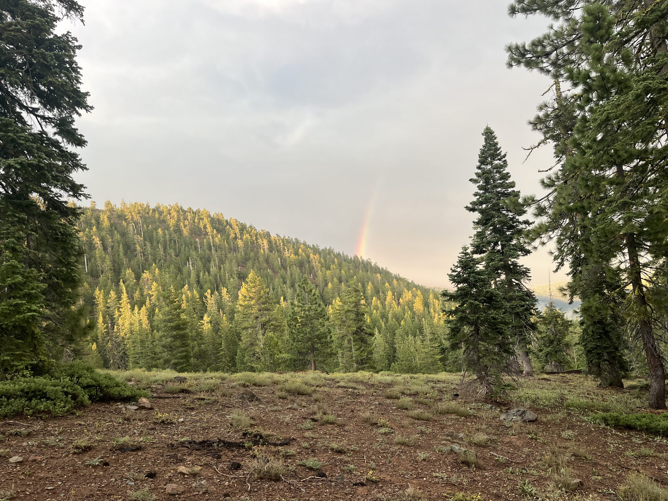
A rainbow appeared just before I got to camp for the night.
So I’ll see Jay at some point tomorrow. It looks like he’s camping by a trailhead 10 miles north of here. So I might even see him in the morning. After corresponding with him, I used my service to get a bunch of stuff uploaded. Then recorded some videos and got some blogs ready. Now tomorrow, I’ll just have to click everything and post it but it’ll basically all be done already. Oh the magic of having service! Of course that kept me up a little bit later than it should have. But after a while, I dozed off and went to bed. And I slept like an absolute baby.
If you enjoyed this blog and would like to support my hike by buying me a soda or a snack along the way, there is a “Tip the Author” button below! It links directly to my Venmo. Any and all support is incredibly appreciated!


